Hiking trails near Strasbourg: the honest guide
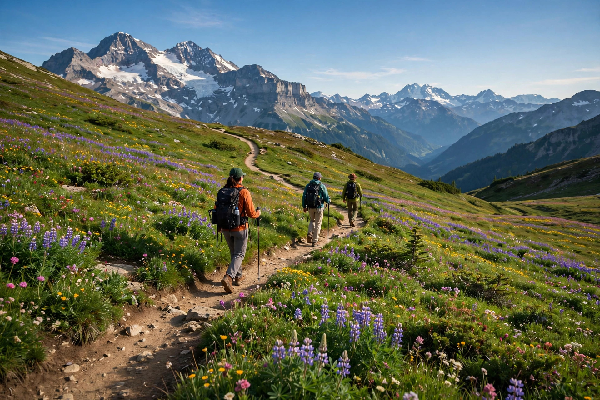

Strasbourg is flat, and this page doesn't pretend otherwise: the real hiking is in the Vosges foothills 30-50 km out (page-only content for this guide), while the city itself offers honest riverside walks. The day hike, the long-distance backbone, and the flat truth.
The honest framing first
Strasbourg is flat - the real hiking is in the Vosges foothills southwest of the city, 30-50 km out. Everything below the Vosges line is a walk, not a hike, and this page says which is which. The mountain entries are page-only content for this guide - they sit outside the 25 km event radius.
Mont Sainte-Odile: the day hike
The one proper day hike: Mont Sainte-Odile (Ottrott, 733 m, ~30 km from the city). The loops run 14-16 km with 650 m of climbing over 4-6 hours: the Sentier des Pèlerins up, the Mur Païen (the pagan wall) along the ridge, the Sentier des Merveilles, and the Châteaux d'Ottrott ruins - Hagelschloss, Koepfel, Dreistein. The abbey at the top has panoramic terraces over the Alsace plain. AllTrails lists it as 'Mont Sainte-Odile via the Castles' (10.1 mi, 2,595 ft). Drive or train to Ottrott; the trailheads are well signed.
The GR5: the long-distance backbone
The GR5 Grande Traversée des Vosges runs 430 km from Wissembourg to Belfort in 19 stages, waymarked by the Club Vosgien's red rectangles. The stages near Strasbourg - Donon, Struthof, Mont Sainte-Odile, Champ du Feu - are the multi-day ambition; do not treat old wayfinding PDFs (2012, 2018) as current conditions - the blazes change, so check the Club Vosgien's current marking before you go. AllTrails keeps a current GR5 list at alltrails.com.
The vineyard walk
The Sentier des Bouchons Enchantés loops ~10 km with 250 m of climbing through the Ottrott vineyards - the gentle version: vines, villages, views. It comes from social sources, so verify the waymarks locally before trusting a downloaded GPX.
In the city: walks, not hikes
Inside Strasbourg, call it walking: the Ill riverside paths (flat, endless, best at golden hour), the Parc de l'Orangerie loops, and the Jardin des Deux Rives walk over the Passerelle footbridge into Kehl, Germany - the cross-border stroll that is this city's most distinctive easy walk. Trails researched October 2026; check conditions locally.
Common questions
Where can I hike near Strasbourg?
Mont Sainte-Odile (~30 km, 14-16 km loops, 650 m D+) is the proper day hike; the GR5's Vosges stages are the multi-day version. Both sit outside the 25 km event radius - page-only content for this guide.
Is there hiking inside Strasbourg?
Honestly: walks, not hikes. The Ill riverside paths, the Orangerie loops, and the Jardin des Deux Rives footbridge walk into Kehl, Germany.
What is the Mur Païen?
The pagan wall - a mysterious pre-Roman stone wall running along the Mont Sainte-Odile ridge, part of the day-hike loops above Ottrott.
If you book through these links, Dayfari may earn a commission at no extra cost to you.