Hiking from Cuenca: it's all El Cajas
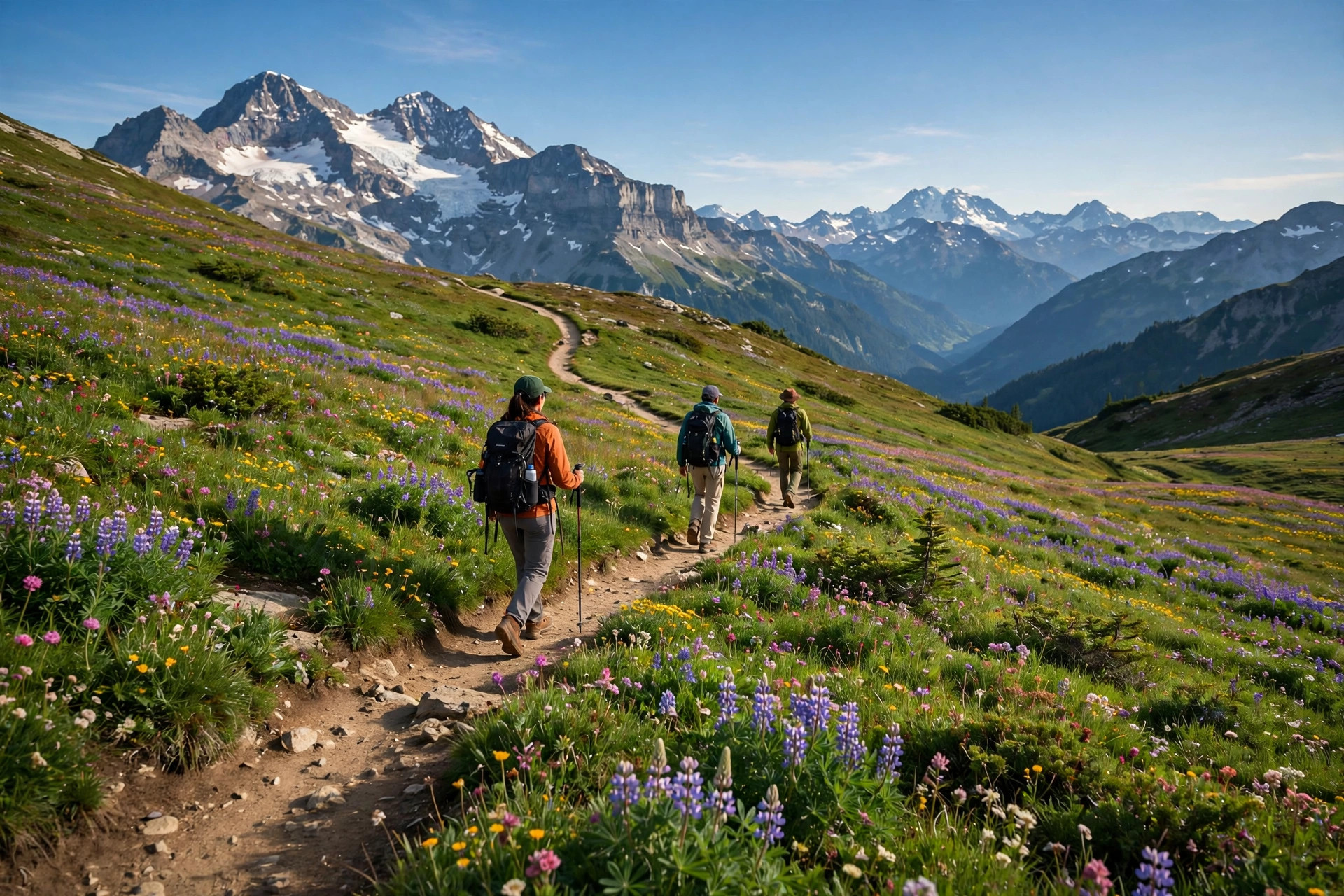

Cuenca has no real urban hiking - and this page won't invent any. The serious trails are all at El Cajas, ~30 km west: seven graded routes from a 300 m forest path to a 10 km divide crossing, free park access, and safety rules written in earned ink (2026-10-01).
The El Cajas trails
El Cajas National Park is ~30 km west - outside the 25 km feed radius, but this is the page the brief assigns it to. Free park access, 235+ lagoons between 3,160 and 4,450 m. Seven trails, honestly graded:
Toreadora loop
The classic first hike: an easy circuit around Laguna Toreadora from the visitor center, which has info, a cafeteria and shelter.
Uku trail
An easy loop around the Llaviucu lagoon - the birding pick.
Ilincocha trail
A short Polylepis forest path. The gentlest possible start.
Naturaleza e Historia Humana
Moderate: Toreadora to the Polylepis forest, Cerro San Luis, Lagunas Unidas, Totoras. The best half-day route.
Cerro San Luis summit
Short, technical, and high: a natural lookout at 4,264 m. Acclimatize first.
Tres Cruces viewpoint
Challenging: the continental divide and the Luspa lagoon. A full-day commitment.
Valle de Quinuas
Longer and guide-required. The deep-park option.
In the city: the Barranco
Barranco riverwalk - The honest city 'hiking': the flat Tomebamba riverside walk. Cuenca has no real urban hiking - the serious trails are all at El Cajas altitude.
Barranco riverwalk
The honest city 'hiking': the flat Tomebamba riverside walk. Cuenca has no real urban hiking - the serious trails are all at El Cajas altitude.
Safety, seriously
El Cajas weather is cold and unpredictable, and every year hikers get lost here. Stick to marked trails, register the longer routes with the rangers, consider a guide for anything past the Toreadora loop, and dress for swings from -2 to 18 C. The Toreadora visitor center has info, a cafeteria and shelter - start there, not at a trailhead you found on a map.
Acclimatization is not optional: Cuenca sits at ~2,560 m and the park runs 3,900 to 4,400 m. Give yourself days, not hours, before the high routes. Facts verified 2026-10-01.
Common questions
Where is the hiking near Cuenca?
El Cajas National Park, ~30 km west: free access, 235+ lagoons at 3,160-4,450 m. The Toreadora loop (2.2 km) and the 4.2 km nature-and-history trail are the classic picks. In town, the flat Barranco riverwalk is honest city walking.
Is El Cajas dangerous?
It demands respect: cold unpredictable weather, and hikers get lost every year. Stick to marked trails, register long routes with rangers, consider a guide, dress for -2 to 18 C. Acclimatize - the park is 3,900 to 4,400 m.
Does El Cajas cost anything to enter?
Park access is free. Guided small-group tours run about $48 to $115 if you want a guide.
If you book through these links, Dayfari may earn a commission at no extra cost to you.